Columbus Weather: Summer Heat Sunday with Storm Chances Tonight

As we move into Sunday, the weather will take on a more summery feel than the typical early spring conditions. Temperatures are expected to rise significantly above normal, with many areas experiencing afternoon highs in the upper 70s and even the low 80s.
Weather Forecast for the Week
Tonight: The night will be mild, with a low temperature of 53°F.
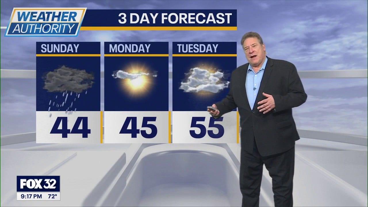
Sunday (Alert Day): Afternoon storms are expected, with a high temperature of 80°F.
Monday: A much cooler day is anticipated, with windier conditions and a high of 49°F.
Tuesday: The weather will return to more seasonal norms, with a high of 53°F.
Wednesday: A mix of sun and clouds is expected, with a high of 55°F.
Thursday: Warm temperatures are forecasted again, with the possibility of storms. The high is expected to reach 69°F.
Friday: Rain is likely throughout the day, with a high of 51°F.
Saturday: The weather will be seasonable, with a high of 52°F.
A steady southwest breeze will contribute to the warm air, making for a breezy and very mild day. However, as the day progresses, a cold front will approach, bringing the potential for showers and thunderstorms from late Sunday afternoon into the evening. Due to this risk, an Alert Day has been issued. However, storm development may be limited during the day due to atmospheric conditions that could prevent early storm formation.
If storms do develop, the best chance of them occurring will be late in the day, particularly near and southeast of I-71. Some of these storms could become strong, potentially bringing damaging winds and hail. That said, the severe weather threat remains conditional, and some areas may not experience any storms at all. More widespread showers and a few thunderstorms are expected from Sunday evening through the overnight hours, but the risk of severe weather should decrease after sunset.
After the cold front passes, temperatures will drop back closer to normal for the start of the new week. Highs on Monday will only reach the upper 40s to mid-50s, and it will get even colder Monday night into Tuesday morning, with temperatures falling below freezing, especially north of I-70. This sudden drop in temperature could affect early spring vegetation following the recent period of warmth. Temperatures will gradually rise again through Tuesday and Wednesday, returning to above-normal levels by Thursday.
Another surge of warm, moist air is expected by Thursday, bringing temperatures back above normal along with another opportunity for unsettled weather. While a few showers could develop early in the day, the better chance for showers and thunderstorms looks to occur late Thursday afternoon into Thursday evening as another cold front moves through the region. Cooler air is expected to return once again heading into next weekend.
- Latihan Soal OSN Ilmu Komputer SMA 2026 - June 1, 2026
- Latihan Soal OSN Kebumian SMA 2026 - May 31, 2026
- Latihan Soal OSN Geografi SMA 2026 - May 30, 2026


Leave a Reply