New satellite tool maps Israeli forests from space, supporting forest management
New Israeli research has developed a way to monitor Israel’s forests from space, changing how forest data is collected in Israel.
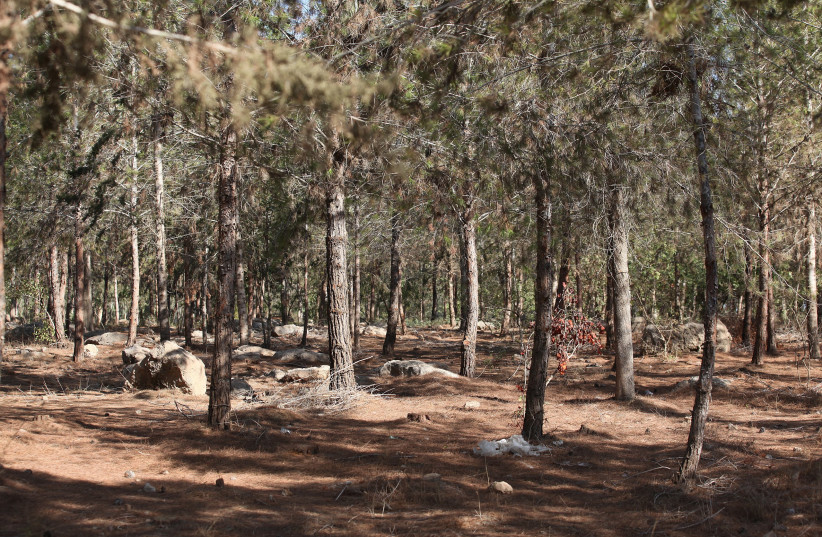
More than 1.5 million dunams (150,000 hectares) of Israel’s forests are managed by Keren Kayemeth LeIsrael-Jewish National Fund (KKL-JNF), which is at least three-quarters of Israel’s forests.
Over the last four years, KKL-JNF has led the country’s forest management using a comprehensive Forest Condition Survey that it developed.
Every five years, a field-based assessment is carried out to monitor vegetation and forest health and update information on each forest.
Dr. Shayli Dor-Haim and Roni Tal from the Forest Management and Forest Information Department in KKL-JNF’s Forestry Division stated, “It is clear that an important tool has been developed, marking a significant milestone in KKL-JNF’s forest management, that could support the shortening of data-collection times, optimize the field survey, and improve metric accuracy.”
The satellite tool
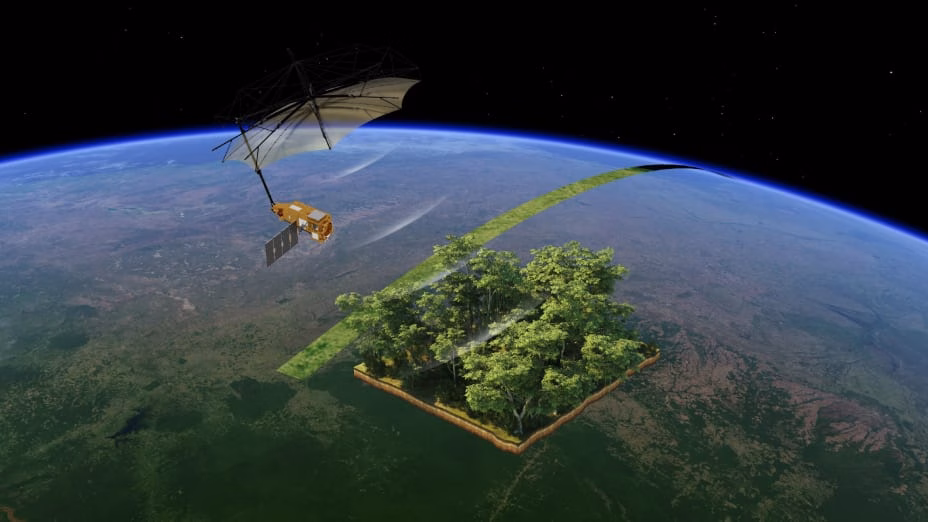
The new remote-sensing system, developed by researchers from the Hebrew University of Jerusalem, Reichman University, and Tel Aviv University, produces a nationwide vegetation-cover map annually, using free satellite imagery.
The maps, covering a seven-year period, classify land into five categories: coniferous, broadleaf, shrubland, herbaceous vegetation, and bare land.
They can be viewed online by year or vegetation type, allowing users to view and download statistics about the forest and research places of interest.
The tool was tested against field measurements and wildfire data, confirming that it is an accurate reflection of real-world conditions.
It can track fire damage in forests and monitor how areas respond to changing weather conditions, helping maintain forest health.
KKL-JNF manages large forested regions that take a long time to analyze in the field. This new tool allows them to more easily and efficiently monitor forest vegetation.
Dor-Haim and Tal point out that, “it is important to remember that remote-sensing tools like the one developed in this study cannot replace the field survey in the coming years, and that integrating both methods is essential for managing KKL-JNF forests and the open landscapes under our care.”

- PKM Musikalisasi Puisi SMK Sadar Wisata Ruteng Tunjukkan Keterampilan Siswa - April 9, 2026
- Evacuation Orders Lifted in Waialua and Haleiwa as Wahiawa Dam Stabilizes - April 9, 2026
- Magister Manajemen: Keterampilan dan Peluang Karier - April 9, 2026


Leave a Reply