Multiple rounds of snow headed for Michigan, see the timeline
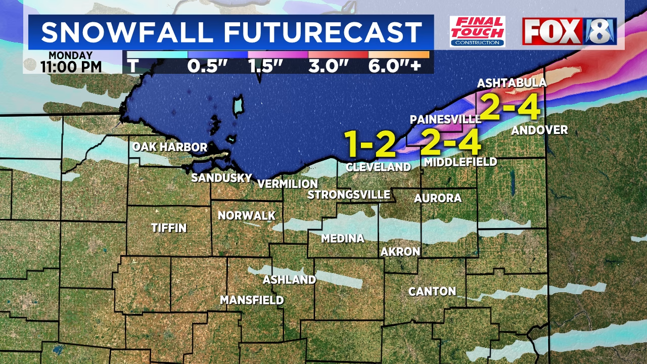
Snow is expected to overspread much of the state Saturday night and into Sunday, with most areas seeing just a scant inch or two.
But then the Arctic blast we felt earlier this week is going to rev back up as we head into Monday. This will send temperatures plummeting to start the week.
We’ll see temperatures in the single digits across much of Michigan on Monday morning. Wind chills could land in the sub-zero category, which is dangerously cold air for anyone working outdoors or spending any amount of time outside.
You’ll want to make sure you’re dressing in layers and have ways to keep your hands and face covered.
We also have Clipper systems bringing in a couple more waves of snow showers this week, including a mid-week storm system that may even pack a wintry mix that could make the roads messier.
The heaviest snowfall over the next few days will likely be areas of Northern Michigan along the Lake Michigan shoreline, and the eastern Upper Peninsula.
Here are the forecast highlights from the National Weather Service offices across Michigan:
Light to moderate snow will spread across Michigan Saturday night into Sunday morning, with accumulations of 1 to 3 inches expected for most areas, while dangerous wind chills near or below zero will arrive Monday morning as Arctic air settles over the state.
The National Weather Service forecasts widespread light snow to develop late Saturday night and continue through Sunday afternoon as a Clipper system moves through the region. The heaviest snow is expected Sunday morning between 6 a.m. and 2 p.m., with the highest accumulations of 2 to 3 inches likely near the Lake Michigan shoreline from Muskegon northward and in portions of the Upper Peninsula. Southern Michigan can expect 1 to 2 inches, with lighter amounts near the Ohio border. While snowfall rates should remain light, the widespread nature of the event may create slippery road conditions for Sunday morning travel.
Behind this system, the coldest air of the season will arrive Sunday night into Monday. Morning lows Monday will drop into the single digits across much of the state, with some interior locations in northern Lower Michigan and the western Upper Peninsula potentially falling below zero. Wind chill values will reach zero or below across northern areas Monday morning. High temperatures Monday will struggle to reach the low 20s, approximately 15 to 20 degrees below normal for early December.
The active weather pattern will continue through the week with multiple chances for additional snow. Another Clipper system will bring light snow accumulations Monday night into Tuesday, particularly across northwestern Lower Michigan where southwest winds off Lake Michigan could produce 3 to 4 inches near the shoreline. A stronger system is expected to track across or near Michigan Tuesday night into Wednesday, bringing more widespread snow with the potential for mixing with or changing to rain across southern areas if sufficient warm air moves in ahead of the low pressure system.
Temperatures will moderate slightly Wednesday with highs returning to the low to mid 30s, near seasonal averages, before another surge of arctic air arrives late in the week. By next Saturday, high temperatures may not reach 20 degrees across much of Michigan, with morning lows again dropping into the single digits. The pattern of Alberta clipper systems bringing periodic light to moderate snow, followed by reinforcing shots of cold air, is expected to persist through at least the middle of December.
©2025 Advance Local Media LLC. Visit mlive.com. Distributed by Tribune Content Agency, LLC.
- 510 Siswa Ikut Festival Bulutangkis Semarang 2025, Cetak Talent Baru - December 16, 2025
- 6 Makanan yang Bisa Menyebabkan Ketombe - December 16, 2025
- Why your microwave might be ruining your food, according to science - December 16, 2025


Leave a Reply